


29 km | 35 km-effort


Usuario


Aplicación GPS de excursión GRATIS
 SityTrail
IGN / Institutos geográficos
SityTrail World
El mundo es suyo
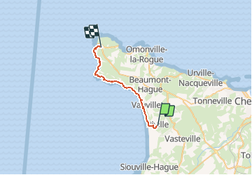
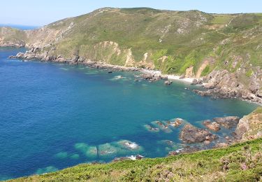
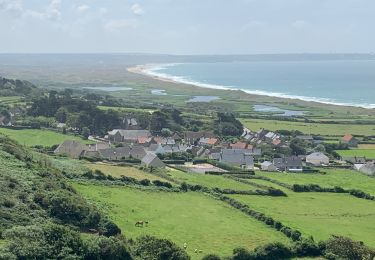
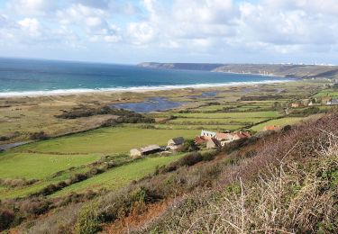
Ruta Senderismo de 20 km a descubrir en Normandía, Mancha, La Hague. Esta ruta ha sido propuesta por BernardHumeau.
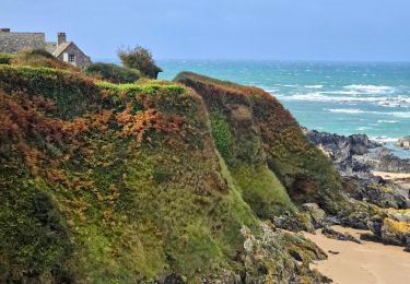
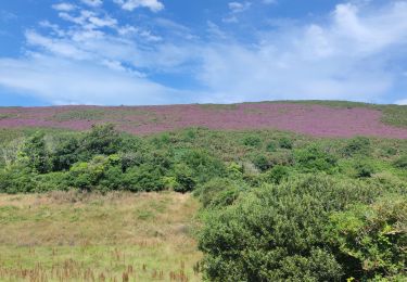
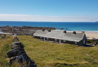
Dernière étape du " Cotentin", tranquille au départ, les difficultés n'apparaissent que dans la 2ème moitié :rochers,falaises,....histoire de garder de bons souvenirs !!!
Senderismo

Senderismo
Senderismo
Senderismo
Senderismo

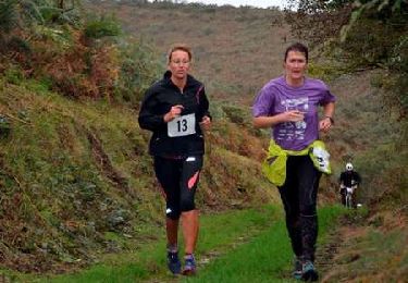
Carrera
Bici de montaña